[11:47 PM, 9/26/2021] Riya Bansal KIET: HIMACHAL PRADESH

HIMACHAL PRADESH


About HIMACHAL PRADESH

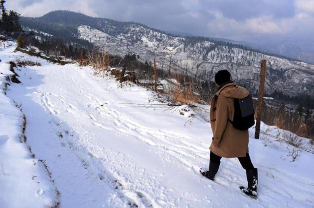
Himachal Pradesh is a northern Indian state in the Himalayas. It's home to scenic mountain towns and resorts such as Dalhousie. Host to the Dalai Lama, Himachal Pradesh has a strong Tibetan presence. This is reflected in its Buddhist temples and monasteries, as well as its vibrant Tibetan New Year celebrations. The region is also well known for its trekking, climbing and skiing areas.The predominantly mountainous region comprising the present-day Himachal Pradesh has been inhabited since pre-historic times having witnessed multiple waves of human migrations from other areas.[22] Through its history, the region was mostly ruled by local kingdoms some of which accepted the suzerainty of larger empires. Prior to India's independence from the British, Himachal comprised the hilly regions of Punjab Province of British India. After independence, many of the hilly territories were organized as the Chief Commissioner's province of Himachal Pradesh which later became a union territory. In 1966, hilly areas of neighboring Punjab state were merged into Himachal and it was ultimately granted full statehood in 1971.


Geography Of HIMACHAL PRADESH

Himachal is in the western Himalayas situated between 30°22′N and 33°12′N latitude and 75°47′E ́ and 79°04′E longitude. Covering an area of 55,673 square kilometres (21,495 sq mi),[8] it is a mountainous state. Most of the state lies on the foothills of the Dhauladhar Range. At 6,816 m, Reo Purgyil is the highest mountain peak in the state of Himachal Pradesh. The drainage system of Himachal is composed both of rivers and glaciers. Himalayan rivers criss-cross the entire mountain chain. Himachal Pradesh provides water to both the Indus and Ganges basins.[30] The drainage systems of the region are the Chandra Bhaga or the Chenab, the Ravi, the Beas, the Sutlej, and the Yamuna. These rivers are perennial and are fed by snow and rainfall. They are protected by an extensive cover of natural vegetation.[30] Four of the five Punjab rivers flow through the state, three of them originating here.


Transport in HIMACHAL PRADESH

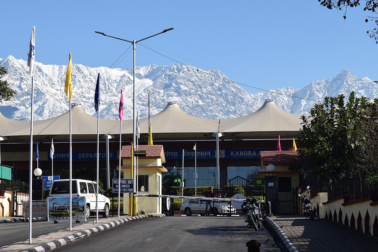
Air Himachal has three Domestic Airports in Kangra, Kullu and Shimla districts.[89] The air routes connect the state with Delhi and Chandigarh. Bhuntar Airport is in Kullu district, around 10 kilometres (6 mi) from district headquarters. Gaggal Airport is in Kangra district, around 15 kilometres (9 mi) from district headquarters at Dharamshala, which is around 10 kilometres from Kangra Shimla Airport is around 21 kilometres (13 mi) west of the city. Railways Kalka-Shimla Railway Broad-gauge lines The only broad-gauge railway line in the whole state connects Amb Andaura–Una Himachal railway station to Nangal Dam in Punjab and runs all the way to Daulatpur, Himachal Pradesh.[90] It is an electrified track since 1999. Future constructions: Una Himachal–Hamirpur rail project via Dhundla Bhanupali (Punjab)–Bilaspur, Himachal Pradesh Chandigarh–Baddi


Tourisim in HIMACHAL PRADESH

Tourism in Himachal Pradesh is a major contributor to the state's economy and growth. The Himalayas attracts tourists from all over the world. Hill stations like Shimla, Manali, Dharamshala, Dalhousie, Chamba, Khajjiar, Kullu and Kasauli are popular destinations for both domestic and foreign tourists.[80] The state also has many important Hindu pilgrimage sites with prominent temples like Shri Chamunda Devi Mandir, Naina Devi Temple, Bajreshwari Mata Temple, Jwala Ji Temple, Chintpurni, Baijnath Temple, Bhimakali Temple, Bijli Mahadev and Jakhoo Temple.[81] Manimahesh Lake situated in the Bharmour region of Chamba district is the venue of an annual Hindu pilgrimage trek held in the month of August which attracts lakhs of devotees.[82] The state is also referred to as "Dev Bhoomi" (literally meaning Abode of Gods) due to its mention as such in ancient Hindu texts and occurrence of a large number of historical temples in the state.[83] Khirganga is one of the most popular treks in Himachal. Himachal is also known for its adventure tourism activities like ice skating in Shimla, paragliding in Bir Billing and Solang valley, rafting in Kullu, skiing in Manali, boating in Bilaspur and trekking, horse riding and fishing in different parts in the state.[84] Shimla, the state's capital, is home to Asia's only natural ice-skating rink.[85] Spiti Valley in Lahaul and Spiti District situated at an altitude of over 3000 metres with its picturesque landscapes is an important destination for adventure seekers. The region also has some of the oldest Buddhist Monasteries in the world

[11:47 PM, 9/26/2021] Riya Bansal KIET: HIMACHAL PRADESH [11:47 PM, 9/26/2021] Riya Bansal KIET: MADHYA PRADESH

MADHYA PRADESH


About MADHYA PRADESH

Its capital is Bhopal, and the largest city is Indore, with Jabalpur, Gwalior, Ujjain, Satna being the other major cities. Madhya Pradesh is the second largest Indian state by area and the fifth largest state by population with over 72 million residents. It borders the states of Uttar Pradesh to the northeast, Chhattisgarh to the southeast, Maharashtra to the south, Gujarat to the west, and Rajasthan to the northwest.[11] The area covered by the present-day Madhya Pradesh includes the area of the ancient Avanti Mahajanapada, whose capital Ujjain (also known as Avantika) arose as a major city during the second wave of Indian urbanisation in the sixth century BCE. Subsequently, the region was ruled by the major dynasties of India. The Maratha empire dominated the majority of the 18th century. After the Anglo Maratha Wars 19th century, the region was divided into several princely states under the British and incorporated into Central Provinces and Berar and the Central India Agency. After India's independence, Madhya Pradesh state was created with Nagpur as its capital: this state included the southern parts of the present-day Madhya Pradesh and northeastern portion of today's Maharashtra. I


Geography Of RAMADHYA PRADESH

Madhya Pradesh literally means "Central Province", and is located in the geographic heart of India in between the latitude of 21.6°N–26.30°N and longitude of 74°9'E–82°48'E. The state straddles the Narmada River, which runs east and west between the Vindhya and Satpura ranges; these ranges and the Narmada are the traditional boundaries between the north and south of India. The highest point in Madhya Pradesh is Dhupgarh, with an elevation of 1,350 m (4,429 ft).[26] The state is bordered on the west by Gujarat, on the northwest by Rajasthan, on the northeast by Uttar Pradesh, on the east by Chhattisgarh, and on the south by Maharashtra.


Transport in MADHYA PRADESH

Bus and train services cover most of Madhya Pradesh. The 99,043-kilometre-long (61,542 mi) road network of the state includes 20 national highways.[53] A 4,948-kilometre-long (3,075 mi) rail network criss-crosses the state, with Jabalpur serving as headquarters for the West Central Railway Zone of the Indian Railways. The Central Railway and the Western Railway also cover parts of the state. Most of the western Madhya Pradesh comes under Ratlam Rail Division of Western Railways, including cities like Indore, Ujjain, Mandsaur, Khandwa, Neemuch and Bairagarh in Bhopal. The state has a total of 20 major railway junctions. The major inter-state bus terminals are located in Bhopal, Indore, Gwalior and Jabalpur. More than 2,000 buses are conducted daily from these four cities. The intra-city transit systems mostly consist of buses, private autos and taxis. More than 455 trains transit through Madhya Pradesh daily. 220 trains transit through the State’s capital Bhopal alone. North–South & East–West corridors cut across Madhya Pradesh. There is convenient access to major ports such as Kandla port and Jawaharlal Nehru port in the state[58] The state does not have a coastline. Most of the sea trade happens through the Kandla and Jawaharlal Nehru Port (Nhava Sheva) in the neighbouring states, which are well-connected to MP by road and rail networks.


Tourisim in MADHYA PRADESH

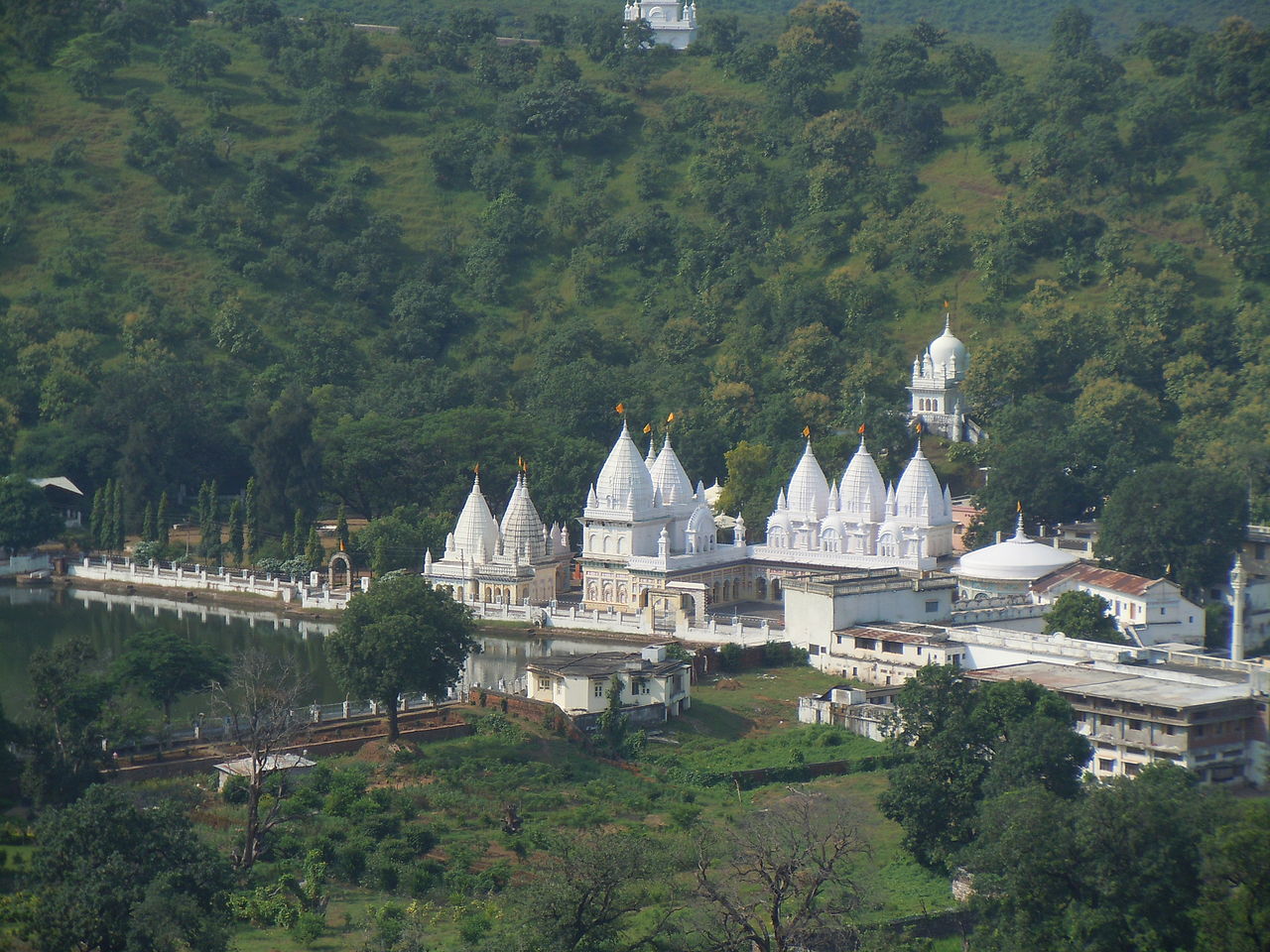
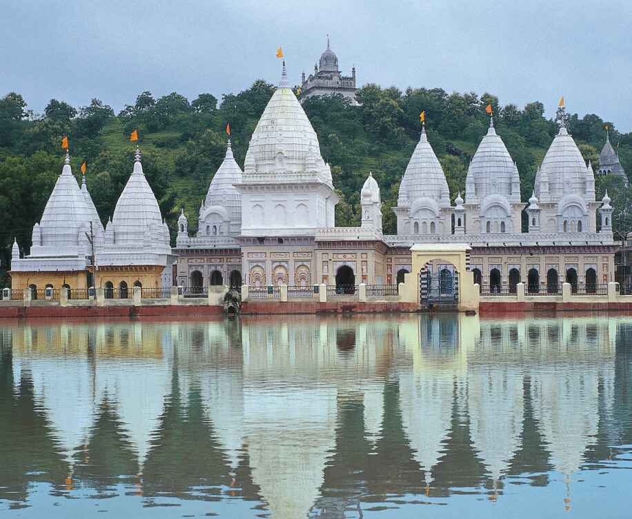
The natural environment of Madhya Pradesh is varied.[citation needed] Consisting largely of a plateau streaked with the mountain ranges of the Vindhyas and the Satpuras, the hills give rise to the main river system - Narmada and the Tapti, running from east to west, and the Chambal, Sone, Betwa, Mahanadi west to east. One half of the state is forested and offers a unique panorama of wildlife.[citation needed] In the National Parks of Kanha, Bandhavgarh, Shivpuri and many others visitors have the opportunity to see the tiger, the bison and a wide variety of deer and antelope in natural surroundings.